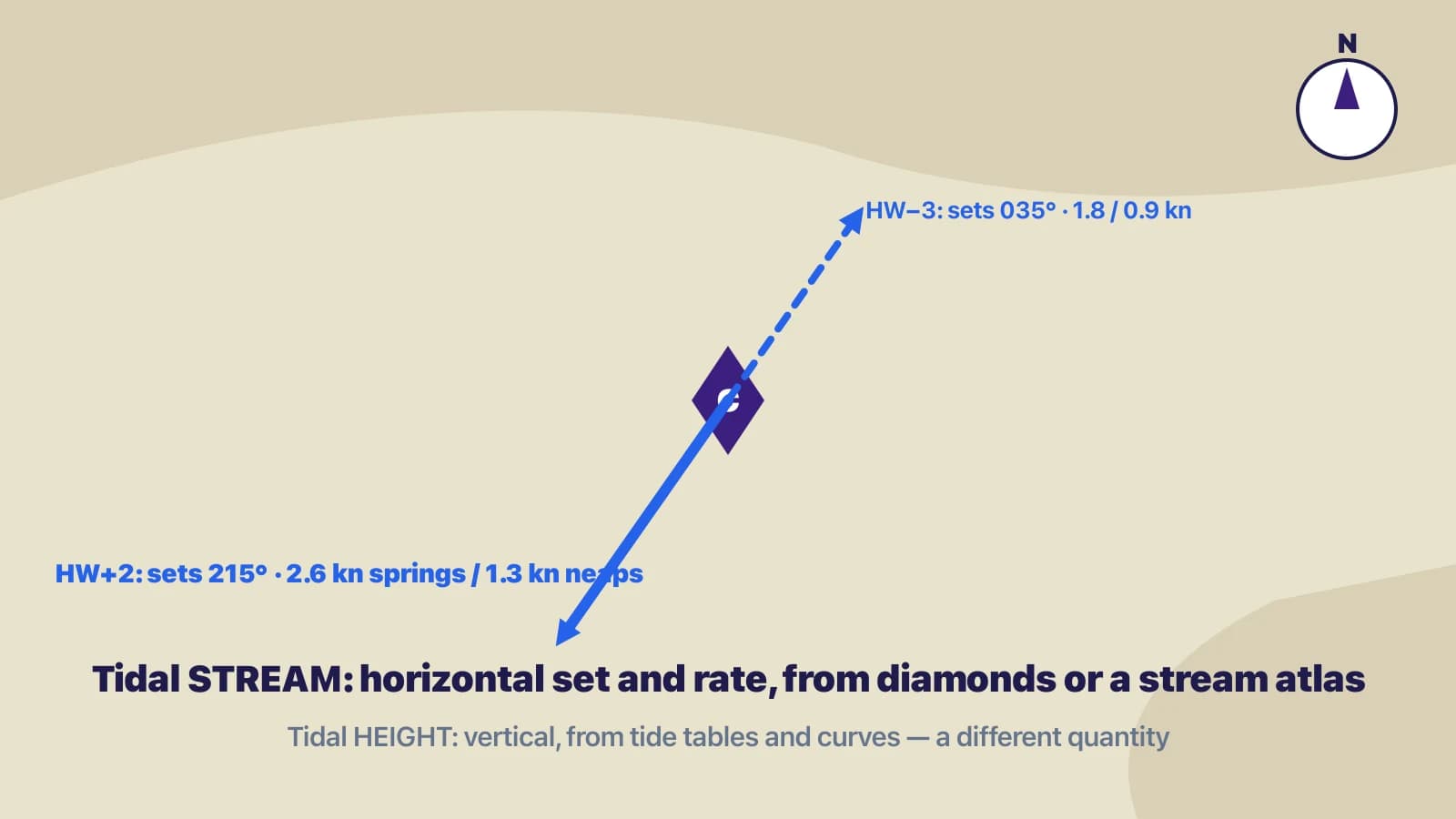
A boat moving through water that is itself moving has three motions worth naming. The water track is the boat's course and distance through the water: the heading you steered and the distance on the log. The tidal vector is the set (direction) and drift (distance) of the stream over the same period. The ground track is what results — where you actually went over the seabed. The three form a vector triangle, and the two classic chartwork problems are the same triangle solved for different unknowns.
| Line | Symbol | Meaning |
|---|---|---|
| Water track | One arrowhead | Course steered, distance through the water |
| Tidal stream | Three arrowheads | Set and drift for the period |
| Ground track | Two arrowheads | Course and distance made good over the ground |
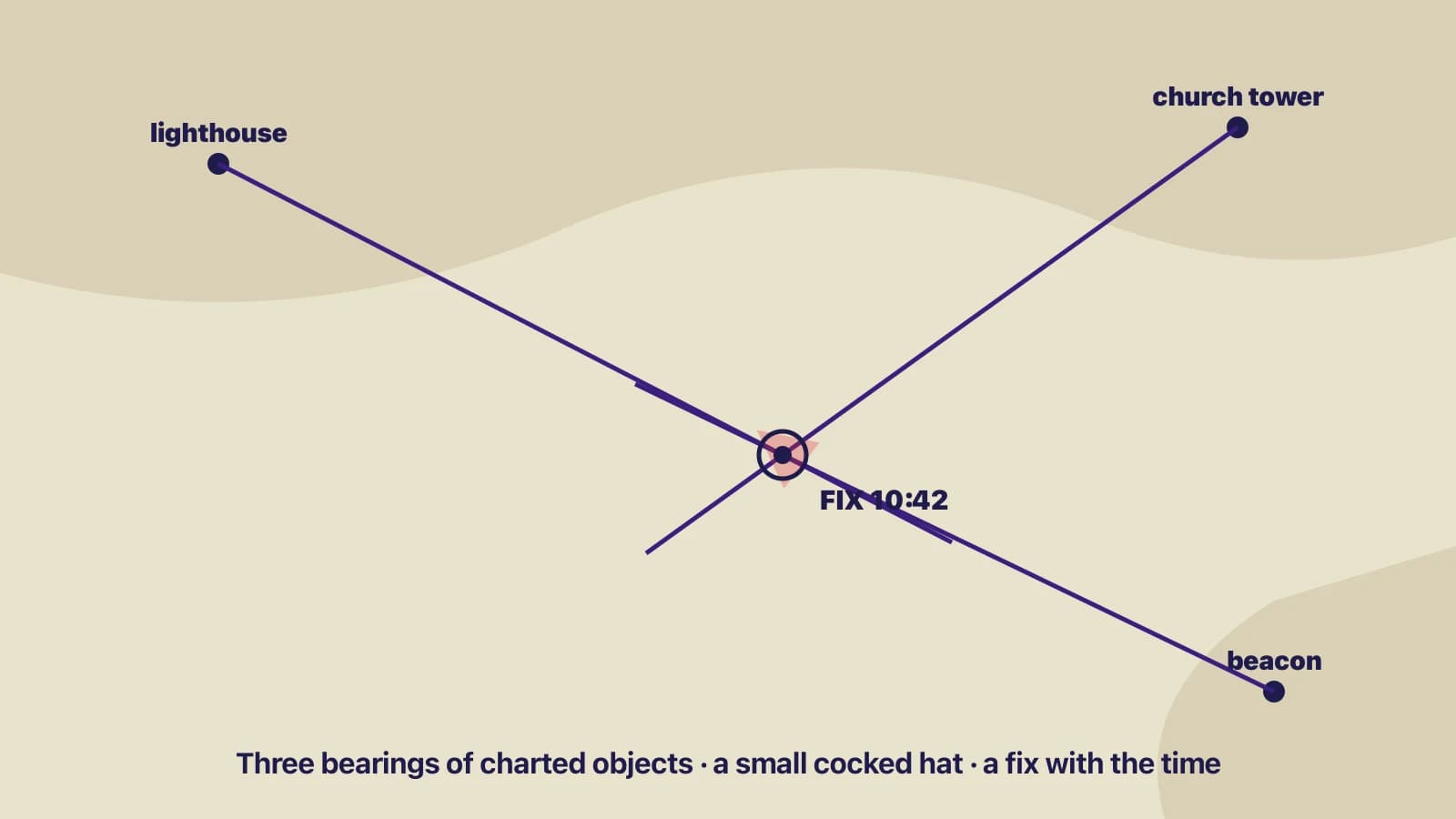
| Fix | Dot in a circle, with time | Observed position |
| DR position | Short cross-line on the track, with time | Water track only, no tide |
| Estimated position | Dot in a triangle, with time | Water track plus tide (and leeway) |
Estimated position: where am I?
You know what you did — the course you steered and the distance you logged — and you know what the tide did. Draw the water track from your last fix; apply leeway to it if the wind was pushing you sideways; then draw the tidal vector from its end. Where the tide vector ends is the estimated position. The line from the fix to the EP is the ground track, and its length divided by the time is your speed over the ground.
Estimated-position triangle: water track from a fix, tidal vector added at the end, EP marked in a triangle.
Worked example
Fix at 10:00. You steer 090°T for an hour at 5 knots through the water, so the water track is 090° for 5 miles. The tidal diamond gives a set of 180° at 1.5 knots for that hour. From the end of the water track, draw 180° for 1.5 miles. The end of that line is the 11:00 EP: roughly 5.2 miles from the fix in a direction of about 107°. Your ground track was 107° and your speed over the ground about 5.2 knots — you were pushed south of where you were pointing.
Leeway
Leeway is the sideways drift caused by the wind pushing on the hull and rig; a sailing yacht hard on the wind might make 5° to 10°, much less when reaching. It is applied to the water track, downwind of the course steered, before the tide is added — because leeway is a property of the boat's movement through the water, while tide moves the water itself. In a course-to-steer problem it is applied the opposite way: once you have the course to steer through the water, you point upwind of it by the leeway angle.
Course to steer: where should I point?
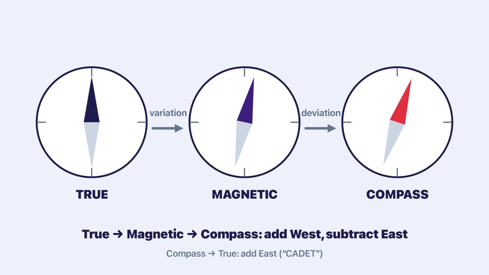
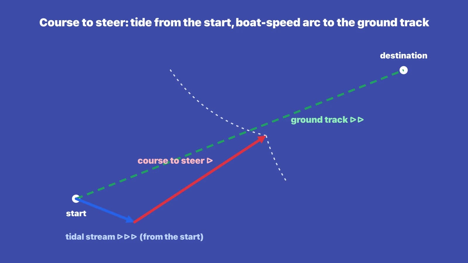
Now you know where you want to go and what the tide will do, and you want the heading. Draw the ground track from your start point through the destination, extended past it. From the start point draw the tidal vector for the period you are planning — usually one hour — in the direction of the set. From the end of the tide vector, open the dividers to the distance your boat will travel through the water in that same period (its speed in knots, for one hour) and swing an arc to cut the ground track. The line from the end of the tide vector to that cut is the water track: measure its direction and that is your course to steer through the water. Apply leeway upwind, then convert true to compass.
Course-to-steer triangle: ground track to destination, tidal vector from the start, and the boat-speed arc cutting the ground track to give the heading.
Worked example
You want to make good 000°T to a buoy 4 miles north. The stream for the next hour sets 090° at 2 knots and your boat makes 5 knots through the water. Draw the ground track north from the start. From the start, draw 090° for 2 miles (the tide). From the end of that line, swing a 5-mile arc to cut the ground track; it cuts it about 4.6 miles north of the start. The line from the tide's end to the cut points about 336°T: steer 336° and you will track north, making good about 4.6 knots. Note that the buoy at 4 miles is reached in a little under an hour — the arc cut is not the buoy.
Try it: course to steer with and without a stream
Interactive: switch a tidal stream on and off and vary its rate to see the computed course to steer and speed made good change; at stream equal to boat speed there is no solution.
Passages longer than an hour
For a passage of two or three hours across a changing stream, add the hourly tidal vectors end to end from the start point (hour one's set and drift, then hour two's from its end, and so on), then swing the arc with the boat's distance through the water for the whole period from the end of the combined tide vector. This gives a single course to steer that averages the tide; it is accurate at the destination and approximate in between, which is fine for open water and not fine for passing close to a danger midway.
The common mistake
Drawing the tide on the wrong end. In an EP, the tide is added to the end of the water track; in a course to steer, it is drawn from the start. A second error is measuring the course to steer from the start point rather than from the end of the tide vector, which gives you the ground track direction back again. Say aloud what each line is as you draw it, and count the arrowheads.
Check yourselfYou have just finished a course-to-steer plot for one hour: ground track 045°, tide 135° at 1 knot, boat speed 4 knots. Your arc cut the ground track 3.7 miles from the start. Will you be at that point in one hour?Show answer
Yes — because the plot was for exactly one hour: one hour of tide and one hour of boat speed. In one hour you travel 4 miles through the water along the course to steer and the tide carries you 1 mile; the vector sum puts you at the arc cut, 3.7 miles along the ground track, so your speed made good is 3.7 knots. If the plot had used a different period, or you sail for a different time, the arc cut is not your position — it only defines the heading.
Key takeaways
- Three vectors: water track (one arrow), tide (three arrows), ground track (two arrows).
- Estimated position: water track first, leeway applied, tide added at the end. The EP is the end of the tide vector.
- Course to steer: ground track first, tide from the start, boat-speed arc from the tide's end to the ground track. The line from the tide's end to the cut is the heading.
- Leeway goes on the water track: downwind in an EP, upwind of the course to steer when helming.
- The arc cut in a course-to-steer plot is your position only if the plot period equals the time you sail.