Position fixing is the skill of turning things you can see or measure into a mark on the chart with a time beside it. The building block is the position line, and the discipline is knowing how good each line is. This guide covers the visual methods examined at Day Skipper level — bearings, transits, ranges and depth — and how to use them with GPS rather than instead of it.
Position lines from bearings
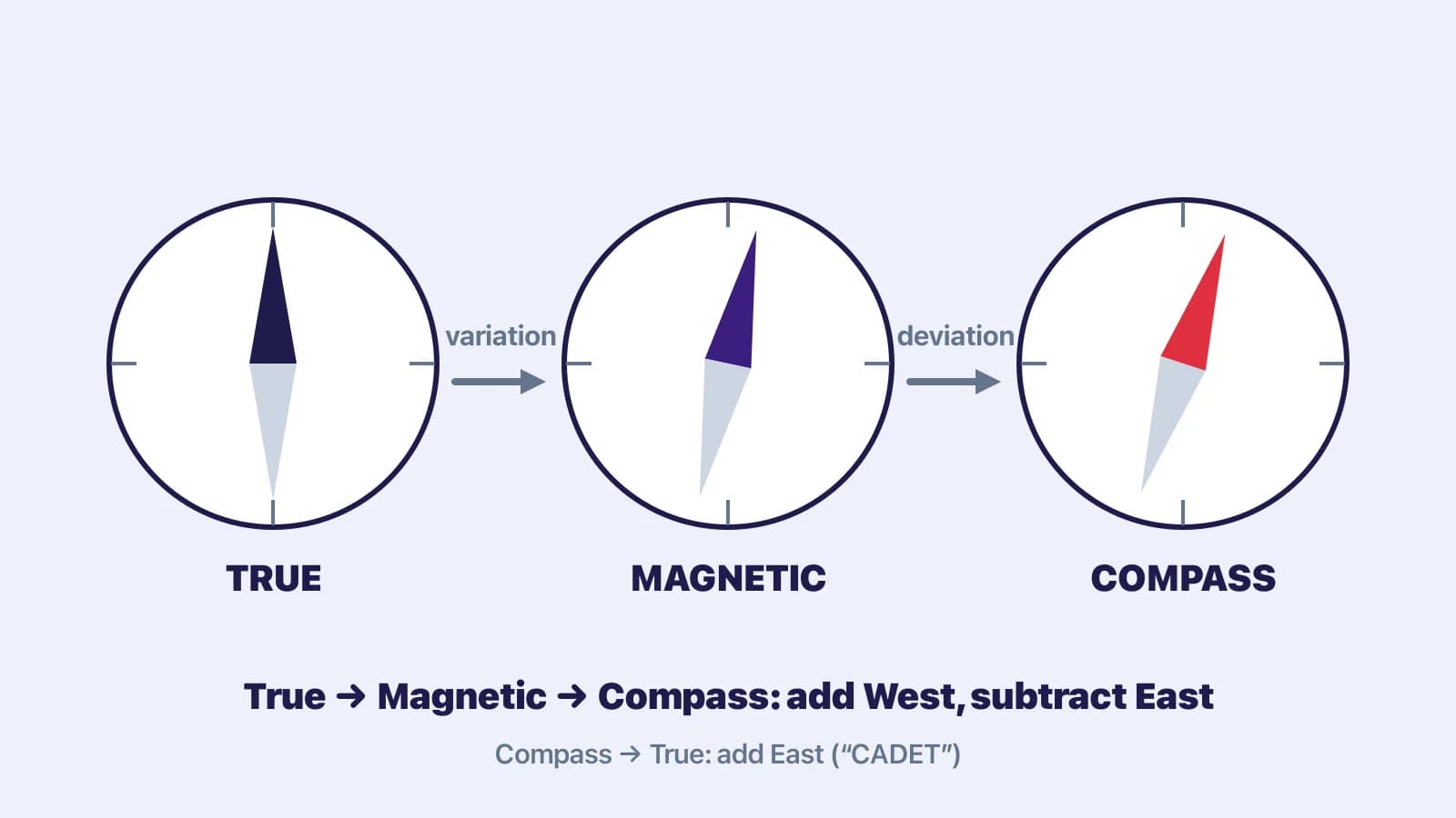
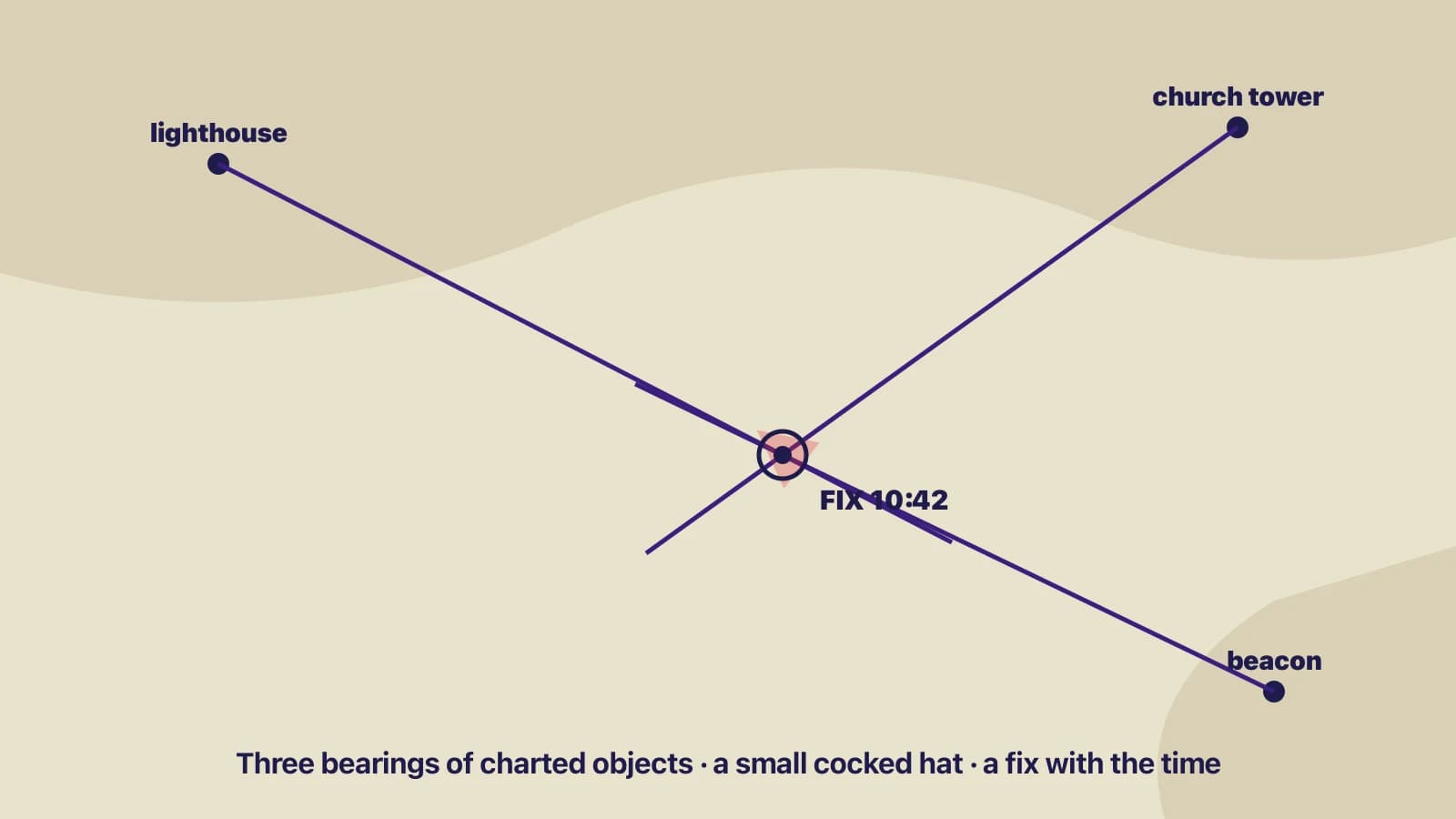
Take a compass bearing of a charted, identifiable object — a lighthouse, a beacon, a headland's edge, a conspicuous building — with the hand-bearing compass. Convert it to true (see our variation and deviation guide), then plot it from the object: the line drawn outward from the object on the reciprocal is your position line. Three bearings of objects spread roughly 60° apart give the best fix; two at a good angle will do; two nearly in line with each other are almost useless because their lines cross at a shallow angle and a small error moves the intersection a long way.
Chart extract with three bearing lines meeting in a small triangle around a fix symbol.
- Take the bearings quickly and take the one whose direction is changing fastest — usually the object nearest the beam — last, so the fix is least distorted by your movement.
- Write bearings down before plotting; do not trust memory across three of them.
- Bearings of near objects are more sensitive to compass error than bearings of far objects, but far objects are harder to identify with certainty. Prefer objects you are sure of.
- Label the fix with the time and, if you have it, the log reading.
Transits — the best position line
Two charted objects in line from the boat, giving a position line without a compass.
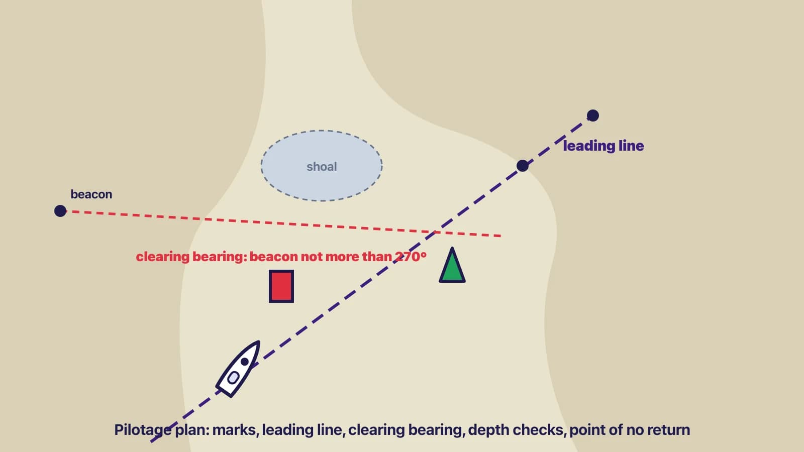
A transit (a range in U.S. usage) is two charted objects seen in line. The line through them is a position line that owes nothing to the compass, so it is the most accurate position line available to a small-boat navigator. Charts show some transits deliberately as leading lines into harbours; any two charted objects will do, from a beacon in front of a church tower to the two edges of an island. A transit crossed with one good bearing is an excellent fix. Transits are also the tool for checking deviation: sail along a charted transit and compare its charted bearing with what your compass reads.
Other position lines
- Range (distance): a radar range of a charted feature, or a vertical sextant angle of a lighthouse of known height, gives a distance; the position line is a circle of that radius around the object. A range and a bearing of the same object is a fix from one object.
- Depth contour: the echo sounder reading, corrected for height of tide, gives a charted depth; the contour of that depth is a rough position line, most useful where the seabed shelves steeply and to confirm which side of a contour you are on.
- Running fix: one object, two bearings separated by a known run. Plot the first bearing, transfer it forward along your ground track for the distance and direction run, and cross the transferred line with the second bearing. Its accuracy depends entirely on your estimate of the run, including tide.
- GPS: a position with an error of a few metres in the open, but a position you must still plot and cross-check, because the receiver can be set to the wrong datum, the chart can be older than the coastline, and antennas fail. A single visual bearing that agrees with the GPS plot is worth the thirty seconds.
The common mistake
Misidentification. The bearing was accurate; it was of the wrong water tower. Before you plot, ask whether the object you see is the object on the chart — count the headlands, check the light characteristic at night, use the pilot book's photographs. The second common mistake is forgetting the time: a fix without a time is a dot on the chart, not a position.
Check yourselfYou take bearings of a lighthouse (bearing 310°) and of a beacon that is almost directly behind the lighthouse from where you are (bearing 305°). Why is this a poor fix, and what would improve it?Show answer
The two position lines cross at only about 5°, so a small error in either bearing moves the intersection a long way along the lines — you know roughly which line you are on but not where along it. Add a third object roughly at right angles to the first two (a bearing near 040° or 220°), or use a range or depth contour as a crossing line, or find a transit. Two objects nearly in line are, however, an excellent transit if you can get them exactly in line.
Key takeaways
- A fix is crossing position lines. Bearings, transits, ranges, depth contours and GPS all provide them.
- Three bearings about 60° apart, quickly taken, converted to true and plotted from the objects, with the time written down.
- A transit needs no compass and is the best position line you can get; use it for fixes and for checking deviation.
- A large cocked hat means a mistake. Assume the position nearest danger and re-check.
- GPS is a position line too. Plot it and cross-check it visually.